After spilling a drink in the grass, have you ever considered that the water does not stay in that soil? Every drop of rain, soda, or water from a lawn sprinkler that falls in the soil enters a catchment.A catchment, also known as a drainage basin, is an area of the Earth’s surface drained by an outlet river or stream. Every drop of water that falls on this area ultimately goes downhill to that outlet. A watershed is the dividing line between one catchment and another, at the topographical high point or rim where water begins to flow towards a different outlet.
A given catchment can contain many different water bodies, including rivers, lakes, ponds, permanent wetlands, and ephemeral wetlands such as vernal pools, which are only present during the spring and summer. It also includes water in the soil and in underground channels.
Some of the vernal pools studied by the University of Maine-Orono are within the watershed drained by the Union River into the Bay of Maine and the Atlantic Ocean.

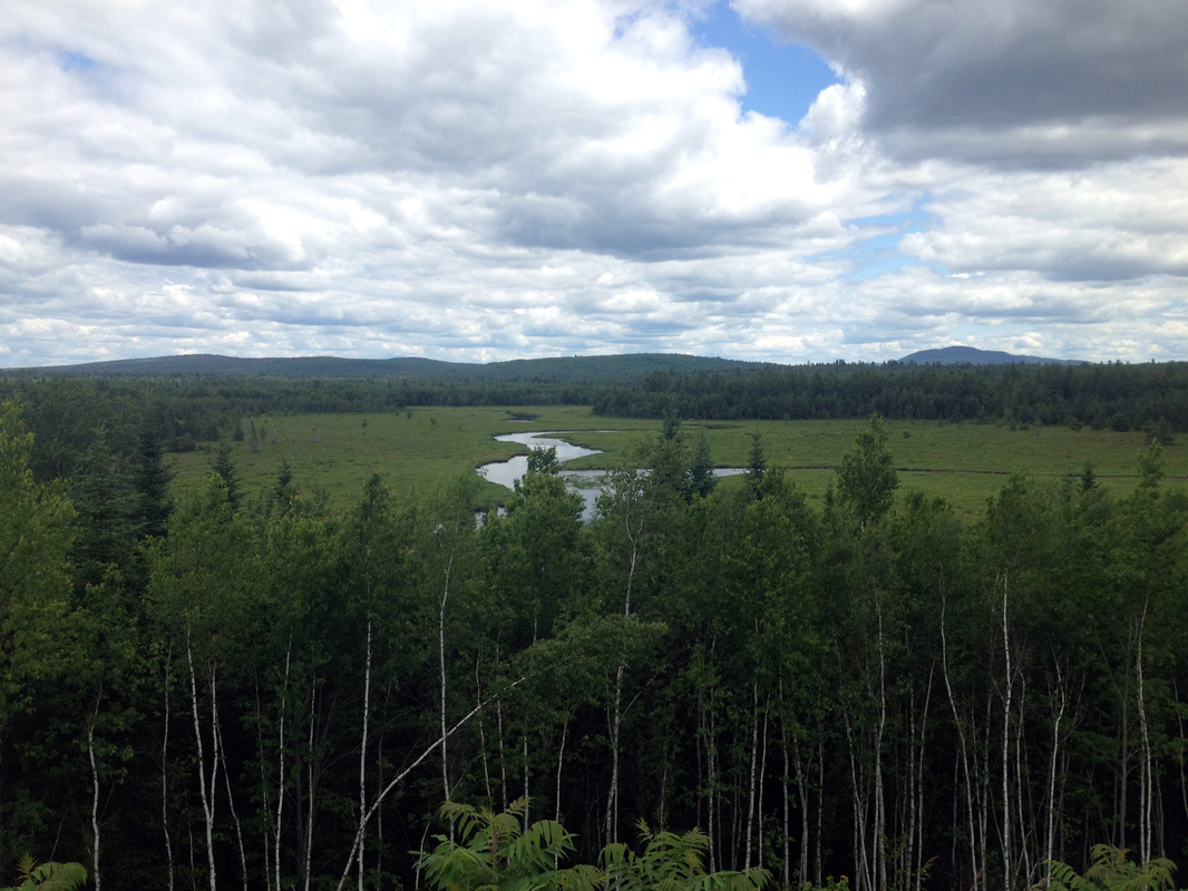
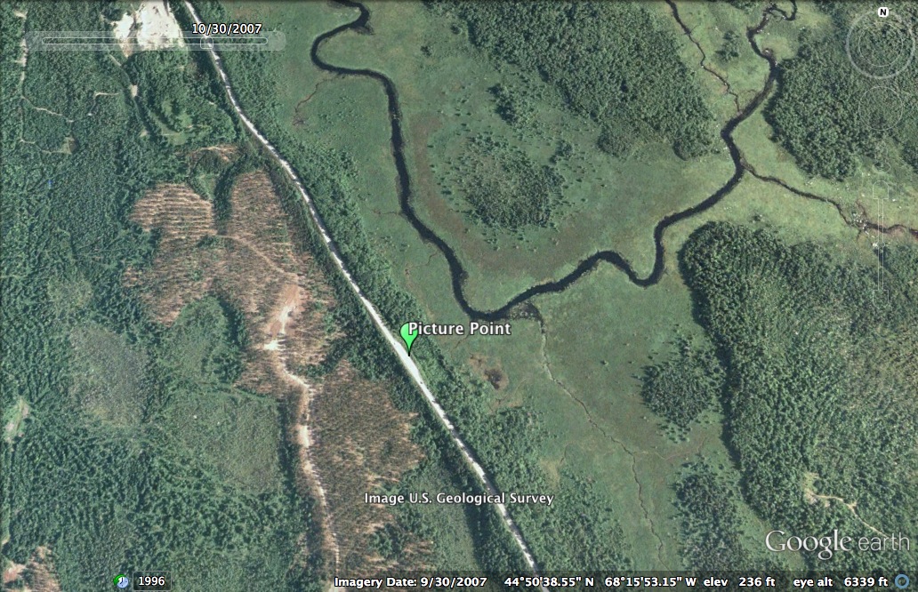
The Union River, the East Branch of which is seen above from Route 9, is located in Hancock and Penobscot counties. Its catchment area includes much of Hancock County. Its headwaters are at the north end of Graham Lake where the east and west branches converge. A 2008 Maine Department of Environmental Protection report showed that water quality in the Union River estuary met standards for dissolved oxygen and did not show signs of excessive nutrient concentrations.

The Upper West Union River has few dams and provides high quality habitat to species such as Atlantic Salmon, Brook Trout, Wood Turtles, Ribbon Snakes, and wading birds which have lost habitat elsewhere.
However, as with other Maine rivers, the stretches closer to the coast have not been preserved as well. Since 1766, thirty-six dams have been constructed on the Union River for sawmills and hydroelectricity, and eleven remain. Fish such as alewives swim in from the ocean to breed in lakes and ponds connected to the Union Rivers, and dams reduce their access to these areas. The resulting alewife declines have deprived cod in the Bay of Maine of an important food source. Efforts to restore alewife populations are underway throughout Maine.
Recommended Reading
Alewife Restoration: The College of the Atlantic compiled a thorough report on restoration of alewife fish restoration in the Union River watershed, evaluating different methods and reporting on opposition to the efforts:
<http://cybrary.fomb.org/pages%5CAlewife%20reintroduction%20report.pdf>
In addition, the Bangor Daily News reported on the project in 2013:
<http://bangordailynews.com/2013/05/04/outdoors/restoration-efforts-put-spotlighton- once-plentiful-alewives/>
The Maine Natural Areas Program selects “Beginning with Habitat” focus areas to protect species and habitats in need of conservation. This brochure describes the Upper Union River focus area and features photos of its wildlife:
<http://www.maine.gov/dacf/mnap/focusarea/upper_union_river_focus_area.pdf>
Reference List
Hall, C.J., Jordaan, A., Frisk, M.G. 2010. The historic influence of dams on diadromous fish habitat with a focus on river herring and hydrologic longitudinal connectivity. Landscape Ecology 26.1: 95-107.
<http://www.alewifeharvesters.org/wp-content/uploads/2011/07/Hall-et-al-20101-Landscape-Ecology.pdf>
Langbein, W.B., and Iseri, K.T. 1995. Science in your watershed: general introduction and hydrologic definition. United States Geological Survey.
<http://water.usgs.gov/wsc/glossary.html>
Maine Natural Areas Program. 2013. Focus areas of statewide ecological significance: Upper Union River. Department of Agriculture, Conservation and Forestry.
<http://www.maine.gov/dacf/mnap/focusarea/upper_union_river_focus_area.pdf>
